Introduction
Collaboration in architecture, engineering, and construction (AEC) has always been challenging. Even with modern BIM tools, teams often struggle with outdated plans, misaligned models, and communication breakdowns. The root of the problem? Inaccurate or incomplete site data.
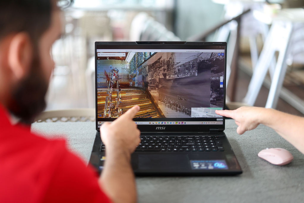
But there’s a solution—point cloud technology. By creating an exact digital replica of a building or site, point clouds provide a single source of legitimacy that enhances collaboration, reduces errors, and improves efficiency. Let’s break down the traditional challenges and see how point clouds are changing the game.
Traditional Collaboration Problem in Architecture
1. Disconnected Workflows and Data Silos
In many projects, architects, engineers, and contractors work in isolation, using different tools and formats. This lack of integration often leads to:
- Inconsistent design versions: A contractor may work from an outdated floor plan while an engineer is using a revised model.
- Repetitive data collection: Multiple site visits are required because different teams measure and interpret data separately.
2. Inaccurate 2D Drawings and As-Built Information
Traditional surveys and 2D drawings often fail to capture the real conditions of a site. This can result in:
- Measurement errors: Small inaccuracies can lead to major design adjustments later.
- Clashes in construction: Structural and MEP (Mechanical, Electrical, and Plumbing) systems may not align as expected.
3. Difficulty in Coordinating Changes
When modifications occur mid-project, updating everyone is a logistical challenge. Problems include:
- Manual updates across multiple platforms: If changes aren’t shared in real time, teams work with outdated information.
- Miscommunication between stakeholders: Contractors, designers, and engineers may interpret site conditions differently, leading to delays and rework.
How Point Clouds Solve These Issues
1. A Single Source of Legitimacy
A point cloud is a highly accurate 3D representation of a site, ensuring that everyone works with the same data.
- Eliminates discrepancies: No more conflicting versions of drawings or models.
- Accessible to all stakeholders: Architects, engineers, and contractors can reference the same digital site conditions.
2. Precision That Eliminates Errors
Unlike traditional measurements, point clouds capture every detail—walls, ceilings, beams, even small fixtures.
- Minimises measurement errors: Reduces design adjustments and prevents misalignment.
- Enhances renovation and retrofit accuracy: Essential for heritage and adaptive reuse projects.
3. Seamless BIM Integration for Better Collaboration
Point clouds can be imported into BIM tools like Revit, Navisworks, and ArchiCAD, allowing teams to overlay the real-world site onto their digital models.
- Reduces site visits: Teams can access a virtual 3D site from anywhere.
- Speeds up coordination: Changes in the point cloud update across the entire BIM workflow.
Real-World Time Comparison: Manual Survey vs. 3D Scanning
Let’s put things into perspective with a typical medium-sized building (e.g., a 500 m² commercial space):
| Task | Manual Survey | 3D Laser Scanning |
|---|---|---|
| On-Site Time | 2–3 days | 2–4 hours |
| Processing & Drafting | 3–5 days | 1–2 days |
| Revisions Due to Errors | Common | Rare |
| Site Re-visits | Likely | Unlikely |
| Overall Time Saved | – | Up to 70% faster |
In practice, what used to take a week or more can now be completed in a day or two, with higher accuracy and far less stress for everyone involved.
The Future of Collaboration with Point Clouds
As point cloud technology advances, AI and automation will further streamline workflows. Future developments include:
- Automated feature recognition: AI-driven tools that convert point clouds into BIM elements automatically.
- Cloud-based collaboration: Teams will be able to access, annotate, and update point cloud data in real time from anywhere in the world.